Keep the source attached.
Record the contributor, capture time, location, source file and review history. Keep declared asset ownership visible alongside the observation.
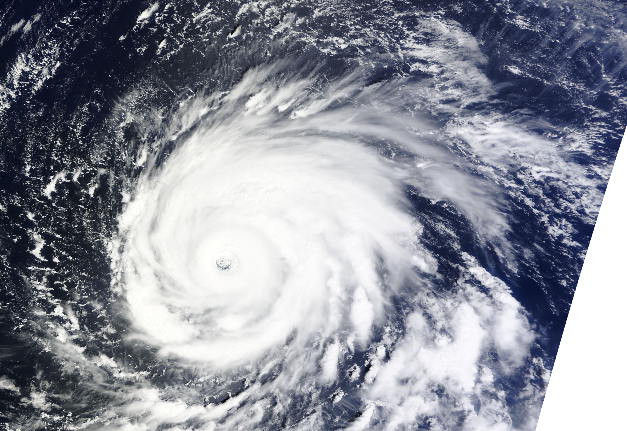
The frontier of hydroclimatic intelligence
A storm interrupts the journey home. From shelter, someone uses her phone to record what happened outside. Her perspective matters. Landfall Intelligence is being built for people like her, and for the teams who need to understand the event.
Mobile capture. Geospatial AI. A new approach to parametric validation.
Intelligence for people, places and assets.
For the people living through it.
A commuter. A neighbour. Someone who knows the road home. Landfall is for you, too. Your local knowledge matters, whether you own an asset or simply happen to be there.
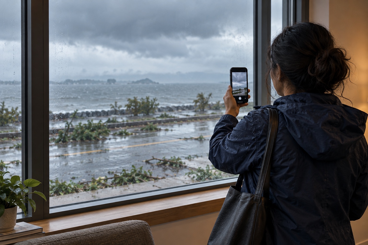
Being developed for people on the ground
Your journey home is interrupted by a storm. Once you are somewhere safe, a photo can preserve what you saw. The proposed Landfall experience keeps your observation with its time, place and source, giving you a record to refer back to.
Follow official warnings. Never enter danger to collect evidence.
Illustrated scenario, not a real customer or submitted observation. Personal records and local context are planned capabilities for pilot evaluation.
The technology we are building
People and their observations are the starting point. We're developing capture provenance, computer vision and geospatial context to turn scattered observations into evidence that can be compared, questioned and used.
Record the contributor, capture time, location, source file and review history. Keep declared asset ownership visible alongside the observation.
Bring permitted camera feeds, water levels, weather and third-party reports into geographic and time context. Each source keeps its own origin and limitations.
We’re developing computer vision to identify visible conditions, with a confidence score for each specific observation. Pilots will test whether those scores match independently checked outcomes. Human review and evidence gaps stay in the record.
Cloud cover can obscure optical imagery. Radar can see through clouds; ground observations can add local detail. Availability and capture conditions differ by source.
In development. Capture verification, source integrations and confidence calibration will be evaluated in pilots.
A new approach to parametric evidence
Connect the event measured from above with the impact observed below.
Parametric insurance uses pre-agreed event thresholds. We're developing a ground-evidence layer to help teams compare those measurements with local conditions, test models and evaluate future parametric products.
Explore a parametric pilotResearch and pilot development. Landfall does not currently provide insurance or live payout triggers.
What the event data records.
What was visible at a particular place.
Compare models with observations and investigate where measured conditions and local impacts differ.
Our product offerings
Explore the event, work with the data, or connect evidence to the tools you already use.
In development. Explore a sample today and discuss access for an evaluation.
Understand the places that matter to you.
A planned view of local observations for individuals and teams, with source history and review status.
For local people, response partners and asset teams
Explore the sampleBring ground observations into your analysis.
Structured asset datasets designed to retain capture time, source attribution, confidence status and evidence limitations.
For modelers, risk and reporting teams
Download a sample datasetBring intelligence into the systems you use.
Planned API and AI assistant access for using Landfall records inside your organisation's tools.
For technology and product teams
Discuss an integrationInside Landfall Platform
Follow the evidence from the observation to its source. Each proposed record keeps the asset, contributor, capture time, review history and remaining unknowns together. Confidence belongs to a specific observation, with its basis visible.
Illustrative asset record
Observed condition
Missing roof sheets are described on the south-facing elevation. The field note describes exposed roof framing.
Evidence confidence / in development
Calibration status: awaiting pilot validation.
Across 100 comparable observations given an 80% score, we would expect about 80 to be correct when independently checked. That is what calibration tests.
A score would apply to the stated claim. It would not establish severity, safety, repair cost or entitlement to a payout.
Conceptual example only. Landfall has not yet demonstrated calibrated scores.
Interior condition, structural integrity and repair cost are not established by this exterior observation.
All identities, times, observations and review events are fictional. Confidence scores are intentionally left blank. T+ is elapsed time from a hypothetical landfall. No source images or authenticity checks are supplied.
Observations describe what is visible. People and organisations decide how to use them.
Download sample CSVWho Landfall is for
Individuals are customers too. We are designing Landfall to be useful to the people who experience an event and the organisations trying to understand it.
What happened around me?
A local resident, a commuter or someone passing through: you do not need to own an asset to use Landfall. We are developing personal observation records and a view of nearby evidence, with sources, timing and uncertainty attached.
The company
Landfall Intelligence brings mobile capture, AI and geospatial data into one product vision: understand the impact of coastal storms from the ground up. We are building for local people as well as response partners, asset operators and teams developing parametric products.
The focus is people, places and assets: the road home, a coastline, a vessel, a building or an infrastructure network. Coverage and review methods will be tested within each pilot.
Pilot hub / pre-launch
For individuals and organisations. Tell us what would make Landfall useful to you. Pilot participation is still being defined.
Help shape a way to record what happened around you and understand local observations. You can explore the idea without committing to contribute images.
Discuss taking partGovernment, first responders and relief organisations can help define safe participation and useful evidence formats.
Discuss a response partnership ↗Asset operators, modelers, insurers and other organisations can define a pilot scope and test the value of traceable observations.
Discuss a client pilot ↗What we want pilots to establish
We plan to test whether the scores match reality, and report where they hold up or fall short.
Proposed contributor requirements
Follow official warnings and emergency instructions. Never travel into danger, enter restricted areas or approach floodwater or damaged infrastructure to collect evidence. Participation is voluntary.
These are proposed pilot requirements, not an active submission agreement. Operational checks and country-specific terms must be in place before contributor onboarding.
A few useful answers
Yes — the product is being designed for local people as customers, including residents, commuters and people passing through. Personal records and nearby observation views are planned for evaluation. You do not need to own a photographed asset to have useful local knowledge. Any future contribution must still meet safety, privacy and permission requirements.
A working workflow MVP, this fictional evidence preview and a sample dataset. Personal records, nearby observation views, capture verification, AI, calibrated confidence scores, live source feeds and the three product offerings remain in development. No customer results are claimed.
No. The proposed product describes observations, sources and limitations. Clients make their own operational, lending, coverage and settlement decisions. Parametric insurers could explore post-event validation; Landfall does not currently supply payout triggers.
No single check establishes every fact in a scene. Capture provenance can help establish origin and file history. Accuracy, context and asset ownership still require review. A Truepic integration has not been implemented or confirmed.
It would estimate how likely a specific observation is to be correct, such as standing water being visible. Provenance describes where the evidence came from; confidence concerns the interpretation of that evidence. Neither establishes that an asset is safe. We plan to validate calibration in pilots before presenting scores as calibrated. The fictional records on this site are not scored.
Not yet. These are proposed sources. Availability, licensing, permissions and geographic coverage must be established for each pilot.
No. Follow official warnings and contact the relevant emergency services for urgent help. Landfall does not dispatch observers or responders.
Help shape what comes next
For people who know a place. For teams who need to understand it. Tell us how you would like to take part in Landfall Intelligence.
Registering interest does not commit you to take part or guarantee a pilot place. No photos, payment or field activity are required.
Pilot interest
For local people, response partners and organisations.
Fields marked * are required.
Hurricane archive: Hurricane Igor, Atlantic Ocean, 14 September 2010 — MODIS Rapid Response Team / NASA GSFC. The commuter scene is an AI-generated concept illustration. Neither image is Landfall field evidence; agency credit does not imply endorsement.